
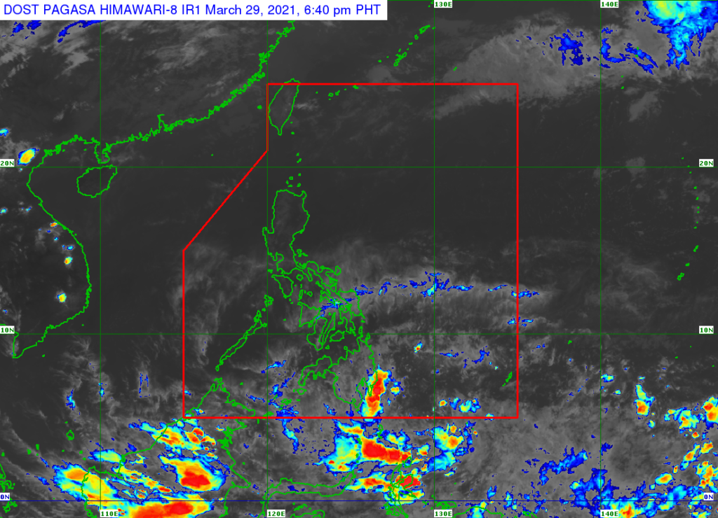
Patuloy na binabantayan ng PAGASA ang low pressure area (LPA) sa loob ng bansa.
Ayon kay PAGASA weather specialist Ariel Rojas, huling namataan ang LPA sa layong 60 kilometers Timog Timog-Kanluran ng Coron, Palawan bandang 3:00 ng hapon.
Mula sa Sulu Sea, patawid na aniya ang LPA patungo sa West Philippine Sea.
Magdudulot pa rin aniya ang LPA ng maulap na papawirin na may pag-ulan at kalat-kalat na pagkulog at pagkidlat sa Mindoro provinces at Hilagang parte ng Palawan.
Maliban dito, nakakaapekto rin ang Tail-end of Frontal System, ang pagsasalubong ng mainit at malamig na hangin, sa bahagi ng Quezon, Aurora, Cordillera, at Cagayan Valley.
Samantala, Northeasterly Surface Windflow naman ang magiging dahilan ng mararanasang maulap na kalangitan na may mahinang pag-ulan sa Batanes at Babuyan Group of Islands.
Sa iba namang bahagi ng bansa kasama ang Metro Manila, posible lamang makaranas ng isolated thunderstorms.
Disclaimer: The comments uploaded on this site do not necessarily represent or reflect the views of management and owner of Cebudailynews. We reserve the right to exclude comments that we deem to be inconsistent with our editorial standards.